
Georgetown Previous Residents Across the Record Trail
A Georgetown house history is strongest when it uses records made for different purposes. The current Williamson Central Appraisal District card supplies the situs address, account or property ID, legal description, and sale-history leads. The deed chain then reaches back through the Williamson County Clerk. Directories and census schedules can add household evidence, while tax rolls, probate, cemetery records, and maps help date a change. None of these sources alone proves continuous occupancy, so retain the record date and the role shown for every name.
| Historical source | Period available | Georgetown access route | Useful address evidence |
|---|---|---|---|
| WCAD parcel card | Current interface; online start not stated | WCAD Advanced Search | Situs, legal description, owner and sale-history leads. |
| Williamson deed records | Series begins 1848 | County Clerk, historical index, and TSLAC microfilm | Grantors, grantees, instruments, plats and land descriptions. |
| Williamson tax rolls | 1848-1910 | TSLAC reels 124601-124606 | Annual property or tax presence, not a full household list. |
| Directories and reverse directories | Exact Georgetown run not confirmed | Library, TSLAC, Portal to Texas History, and UT Briscoe | Address snapshots when a verified volume includes the street section. |
| Federal census schedules | Released schedules under the 72-year rule | National Archives, library microfilm, or licensed access | Household on the census date; geography can differ from today. |
| Sanborn map | May 1916, six sheets | Library of Congress | Structure, block, lot and land-use context, not occupant names. |
For recent transfers, start with the appraisal card and recorded instrument. When the web index does not reach far enough, the Texas State Library and Archives Commission guide establishes a documentary path through deed books, index reels, tax rolls, probate material, and other Williamson County series.
Freeze the Georgetown Parcel Before Going Backward
Before looking for who lived here before, preserve the current parcel keys. WCAD Advanced Search accepts address, owner, property ID, legal description, subdivision, block, tract or lot, city, ZIP code, and related filters. The property card separates the physical situs from a tax mailing address. Its legal description is often the durable bridge when an old deed does not use the modern street number.
Use the Williamson County address lookup first if the location or jurisdiction is uncertain. Enter the address, choose the dropdown suggestion, and note the county map context. Then save the WCAD account or property ID, legal description, situs address, and any sale-history instrument reference in a dated research note. A mailing address is a correspondence clue, not proof that an owner lived at the Georgetown property.
Note: A current parcel card is a starting snapshot, so preserve its tax-year context before drawing conclusions about past residents.
Walk the Williamson County Title Chain Backward
Williamson County’s record-search hub links its Official Public Records Search and the alternate Kofile index. The observed Kofile shell permits grantor or grantee, subdivision, document type or number, recorded-date, index-only, and OCR full-text searching, though the portals did not state an online beginning year. A transfer entry is a lead rather than a certified deed. Request an image or certified copy from the proper custodian when the project calls for the recorded document itself.
- Open the WCAD card and copy the legal description, owner, and any instrument or sale-history reference.
- Use the County Clerk search hub to locate the latest conveyance by grantee, grantor, legal description, instrument number, or recorded date.
- Transcribe the deed’s parties, execution and recording dates, legal description, and any prior reference visible on the actual record.
- Treat the seller as the prior grantor, then locate the prior acquisition using that person, the legal description, or a book and page or instrument reference.
- Continue transfer by transfer, checking for corrections, re-recordings, plats, estate transfers, releases, trustee deeds, and mergers.
- At the online cutoff, move to the Clerk’s counter, historical request channel, TSLAC microfilm, FamilySearch’s county catalog, or library interlibrary loan.
- Grantor / grantee
- The grantor transfers an interest; the grantee receives it. Those roles can switch in the next deed.
- Chain of title
- The sequence of recorded transfers and related instruments connecting one interest in a parcel to an earlier one.
- Legal description
- The lot, block, subdivision, survey, abstract, tract, or metes-and-bounds description used to identify land beyond its street address.
- Criss-cross directory
- A reverse directory arranged by street or address that may supply an occupant lead when the particular volume includes it.
When Georgetown Deed Research Leaves the Web
The TSLAC Williamson County guide documents deed records from 1848 and supplies specific direct and reverse index paths: 1848-1883 on reel 977921, 1883-1887 on reel 977920, reverse indexes for 1848-1877 and 1877-1887, plus later A-H and I-Z reel groups. It also identifies deed-of-trust records for 1880-1891 and an index extending through 1926. This archival detail matters because the current online portals do not publish a historical coverage cutoff.
The Williamson County Clerk handles recording and research-library work at 1848 Texas Trail in Georgetown. Research-library, recording, and vital hours listed by the county are Monday through Friday, 8:00 a.m. to 4:30 p.m. The Clerk says staff cannot perform searches under Attorney General Opinion WW-607, so arrive with a name, date, instrument, or legal description instead of expecting a staff-created genealogy search. TSLAC can make microfilm accessible through a depository or interlibrary loan, but it does not issue certified copies from microfilm.
Note: The published historical series proves records exist, not that every book or image can be searched online today.
The Williamson County records hub is the sensible current starting point for the online route, while the Clerk and TSLAC remain the fallback chain for older Georgetown research.
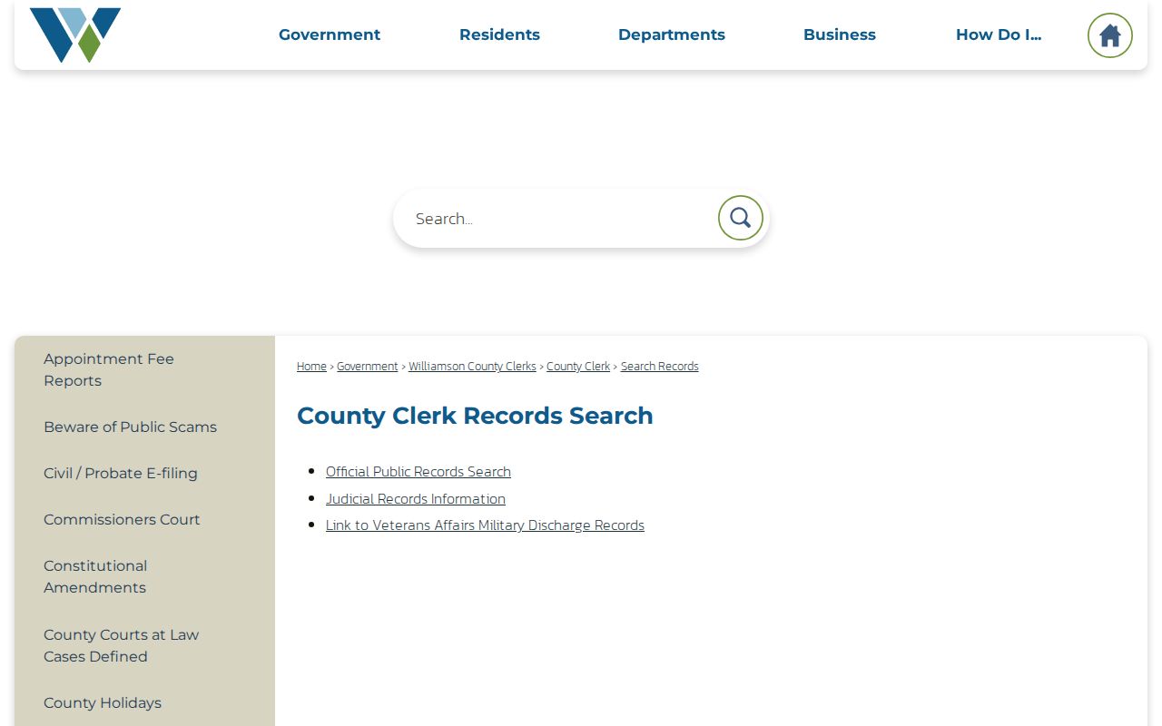
The records-index screen is useful as a route map: use its document and party fields with the parcel keys already saved, then keep a separate transcript of every result used in the title chain.
Pair Georgetown Directories With Census Dates
Deeds show an ownership trail, but past residents can include people whose names do not appear as owners, relatives, and other household members. The Georgetown Public Library Texas History Room is a local gateway for newspapers, census microfilm, and local publications, although the exact city-directory shelf and year run were not confirmed in the research. TSLAC explains that city-directory entries may contain a name, address, telephone, spouse, occupation, or a status mark where the volume prints one, while reverse directories can work from address to occupant. Treat each directory line as an address snapshot rather than a promise of a full household.
- Find a verified directory volume or reverse section and copy the page, year, publisher, spelling, initials, address, and abbreviations exactly.
- Check the next available directory for the same address and for spelling or street-number changes.
- Pair the address with the nearest released census schedule, recording the census date rather than assuming it represents the full year.
- Compare the household clue with a deed, tax roll, obituary, probate item, or cemetery record before identifying a former Georgetown resident.
For collection details, consult the Georgetown city directories page. Use a dated directory line as one layer in an address-specific trail because publication timing can leave a former occupant in print after a sale or miss a household that never had a listed entry.
A 1916 Georgetown Map for House-History Context
The Library of Congress catalog for Georgetown’s May 1916 Sanborn map identifies six sheets. It can help establish a fixed-time view of a block, building footprint, outbuilding, and land use. Compare that view with a current parcel, legal description, and the historic survey before deciding that an older address refers to the same structure. A Sanborn sheet is not a household directory, but it can explain why the evidence changes.
Georgetown’s early record geography is particularly useful here. The city was founded as the Williamson County seat in 1848 around a 52-block grid and public square, with first lots auctioned on July 4 of that year. Glasscock Addition was recorded in 1854. Old deeds may therefore use additions, lots, blocks, or survey language that a modern street-address-only search will miss. No official street-renumbering year was located, so do not invent a conversion.
Note: Map footprints can date a building context, but they do not identify the people who occupied it.
Georgetown House History Has an Archival Route
No official Georgetown house-history guide was located, but the archival route is clear. The TSLAC guide includes Williamson probate papers from 1848-1878 with record extension to 1938, probate minutes from 1848-1934, district civil materials, naturalization records, and tax rolls from 1848-1910. A probate file may identify an executor, heirs, notices, or property references. Newspaper, cemetery, and obituary clues can then close a person’s trail, subject to source checking and any restriction on the record.
The local support network includes the Georgetown library genealogy route and the Williamson County Genealogical Society. WCGS holds Georgetown Genealogy Chat on the first Tuesday in the library’s second-floor Texas History Room. These are places to identify a record series, a place name, or a historical spelling, not substitutes for a deed, census schedule, or other underlying document.
TSLAC’s local-record guide shows the range of Williamson archival groups available after a modern portal fails, including the historical deed, tax, marriage, probate, and court series.
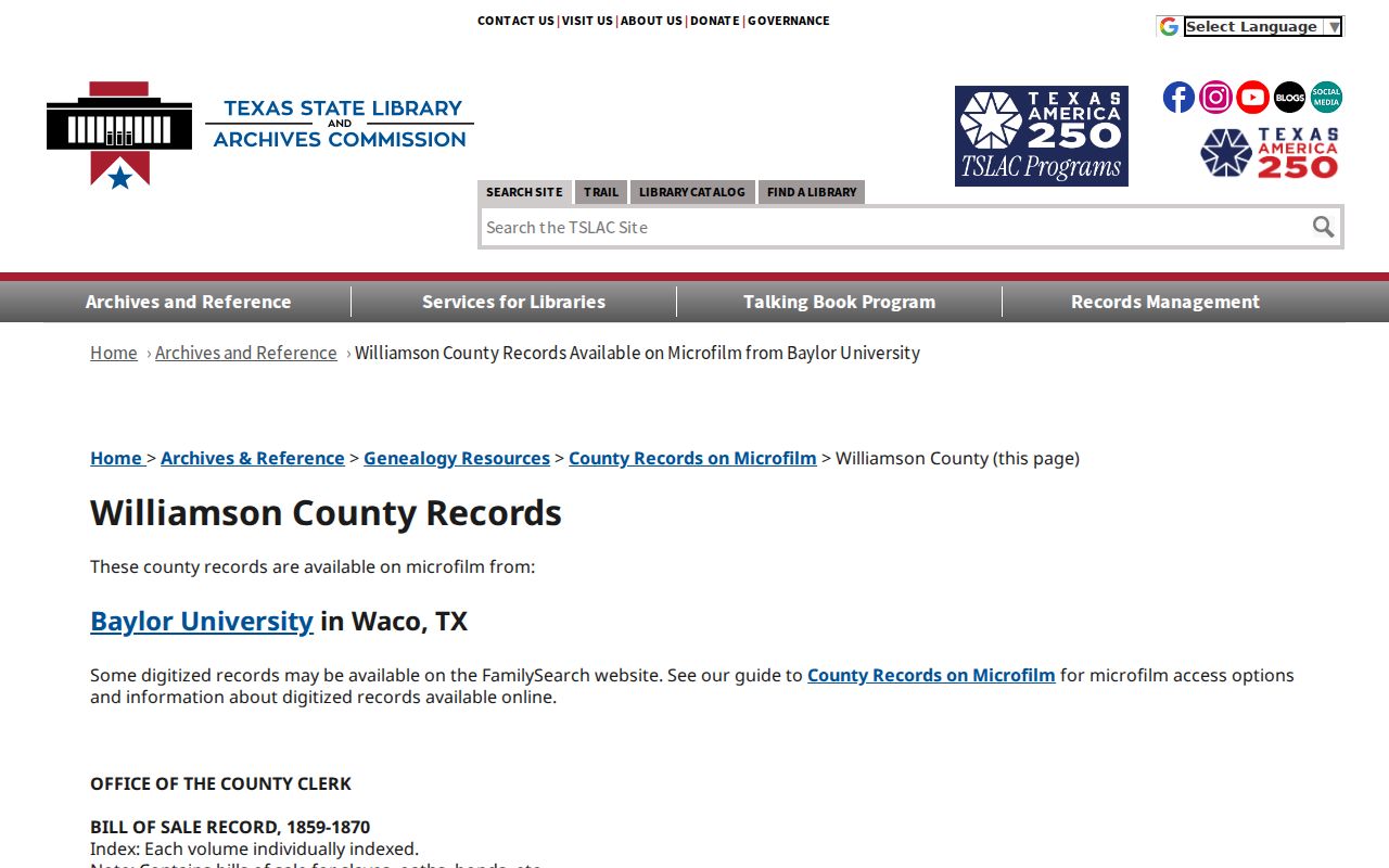
Use the guide’s dates and reels to request the right record group, then record the reel, volume, page, and access date with each Georgetown finding.
Close a Georgetown Past-Residents Trail Carefully
The final lead in previous residents research is often an estate, obituary, or burial record rather than another property transaction. Probate may connect an owner to heirs and an executor; an obituary can add family context; and Georgetown’s cemetery feature service provides burial name and date, sales purchaser or address, plot geography, and status fields. A reserved or available plot is not evidence that a person lived nearby, and a burial location is not a current-address record. Compare each endpoint with the deed chain and its dates.
For city-held permit or development evidence, Georgetown’s GIS development-pipeline layer includes CASE_NAME, DateText, and a case or MGO link. It can be a lead for a city-file request and a way to date a change at the property, but it does not prove occupancy. Utility and delivery customer lists are not public household sources.
Lawful use. Georgetown previous-residents research is appropriate for family history, estate questions, house history, and personal curiosity. Do not use public records to follow, threaten, harass, or expose a living person; Texas Penal Code Chapter 42 includes harassment and stalking offenses.