
Georgetown ZIP Code Directory Coverage
Georgetown has several postal ZIP codes with different delivery and routing roles. The local ZIP Areas map distinguishes 78626, 78628, and 78633, while official postal notices also place 78627 and a 78673 verification issue in the local record picture. A ZIP code describes mail routing, not a legal city boundary or a list of every person at an address. Verify the current delivery ZIP for each individual address before carrying it into a WCAD, court, voter, or historical search.
| Postal area | Areas covered or local use | Post office or routing note | Verification note |
|---|---|---|---|
| 78626 | Georgetown core, east, and southeast areas on the local map, plus some county-edge portions | Georgetown postal routing; exact station name was not located | It is not the same as the city limit. Check each address with USPS. |
| 78627 | Georgetown PO Box, legacy, or routing use in postal bulletins and local mailing addresses | Georgetown postal routing; current street-delivery classification was not located | Do not treat each 78627 address as a street-delivery residence. |
| 78628 | Georgetown west, northwest, and nearby growth areas on the local map | Georgetown postal routing | Many deliveries moved to the new 78633 in 2007. |
| 78633 | North and northwest Georgetown delivery area, including Lake Georgetown and Sun City context | Georgetown postal routing | Created in 2007; a 2009 notice also changed a small 76527/78633 group. |
| 78673 | Appears in a 2017 USPS new or changed ZIP bulletin associated with regional routing | Current use and classification were not located | Confirm with a live USPS lookup before presenting it as a Georgetown delivery ZIP. |
A postal label can serve an address outside incorporated Georgetown, and an address within the city can need a different routing label. The useful search habit is to retain the physical address and the ZIP separately. That protects a postal-area search from turning a routing label into a claim about city jurisdiction.
Verify a Georgetown Postal Code at the Address
Use the current USPS tools to check a delivery address, city name, and ZIP code. The USPS Postmaster Finder accepts From ZIP and To ZIP first-three-digit fields, but its own page cautions that its database may be outdated. For the local jurisdiction side, Williamson County GIS asks users to enter an address and select the official autocomplete suggestion. Directional prefixes and standard street abbreviations matter.
The Williamson County GIS address lookup is the local source captured for the delivery-area check.
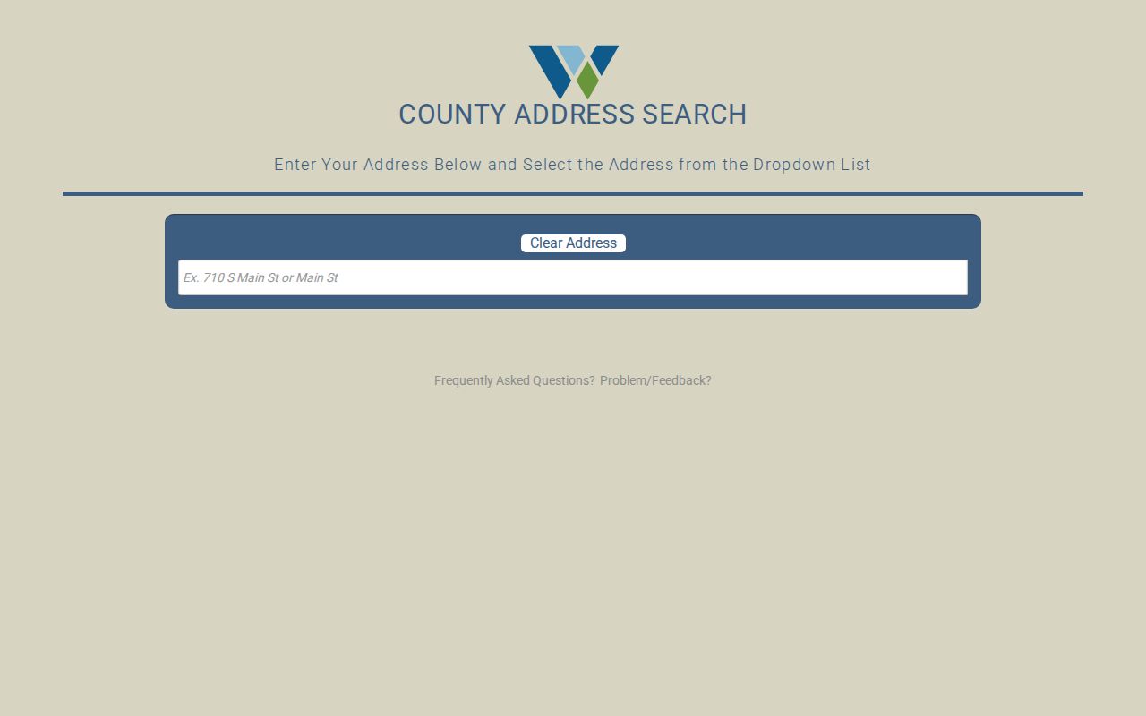
Selecting the suggested address gives county map and jurisdiction context. The tool is not an owner-name search and its visible form does not offer a ZIP-wide resident filter. Use it to verify the address before searching a parcel card or placing a record within Georgetown.
Note: A verified postal ZIP and a GIS jurisdiction result should be recorded as two distinct facts, even when both say Georgetown.
Search WCAD by Georgetown Postal Code
WCAD’s Advanced Search has separate City and ZIP fields. That makes it the most direct official ZIP-filtered local source in the research. Its results are property-card rows, not a complete residents list or a delivery-address directory. Use the ZIP filter with a city, street, owner, neighborhood, or property detail when the search needs to narrow a large area.
| WCAD field | Input type | Required | ZIP search use |
|---|---|---|---|
| City | Text | Not marked | Enter Georgetown where applicable; a postal city alone does not prove city jurisdiction. |
| ZIP field | Text | Not marked | Filters parcel results by ZIP; exact validation rules were not stated. |
| Street Number Range and Street Name | Text inputs | Not marked | Narrows a postal-area search to an address range or street. |
| Neighborhood | Text | Not marked | Can distinguish a named area within a broad postal ZIP. |
| Property Type and Status | Radio and dropdown | Optional | Applies the portal’s property categories and dynamically populated status options. |
| Tax Year | Dropdown | Optional | Uses the portal’s dynamic tax-year choices, not a permanent historical coverage statement. |
| Owner Name or Legal Description | Text | Not marked | Useful after a ZIP result needs a person or parcel-specific check. |
WCAD distinguishes a situs address from the mailing address used for tax correspondence. A card may show an owner, an entity, or a mailing recipient without naming every occupant. The legal description, account or property ID, and sales history are the bridge to parcel and recorded-instrument research.
The WCAD Advanced Search screen shows the City and ZIP filters used to narrow a Georgetown parcel query.
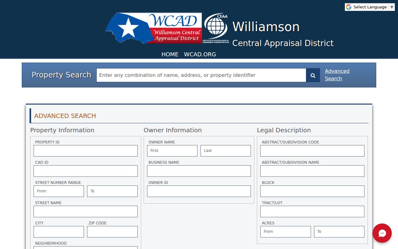
Its property-card results should be read as parcel evidence. They do not create a ZIP-wide resident list or prove that a mailing address is a physical residence.
Find Residents in a Georgetown Postal Area
A ZIP is a useful filter, not a substitute for a person-specific record. Begin with a verified address, then narrow the record source that has a ZIP field. WCAD can identify parcel records in a ZIP. County GIS helps confirm the address and jurisdiction. The voter route is person oriented, so the research did not confirm a public ZIP-wide voter browse. Once the ZIP narrows an address to a particular street, the full address trail belongs with the Georgetown by-street directory.
- Verify the individual delivery ZIP with USPS and retain the exact standardized street address.
- Enter City and ZIP in WCAD Advanced Search, then add a street, owner name, neighborhood, or legal description if the parcel set is broad.
- Open a relevant property card and copy the situs address, mailing address, account or property ID, and legal description as separate fields.
- Use Williamson GIS to select the address from its dropdown and confirm the parcel’s county or municipal jurisdiction.
- For a person-specific voter question, use the county or statewide registration route under its current rules rather than assuming the ZIP produces a public roster.
A parcel hit can support a property connection. It does not identify all people who may receive mail or live at that location. Check the source date and the record role before treating a ZIP-filtered result as a resident match.
Read the Georgetown ZIP Areas Map
The city’s Georgetown ZIP Areas map shows 78626, 78628, and 78633 next to surrounding places including Florence, Jarrell, Liberty Hill, Santa Rita Ranch, Serenada, Weir, and Andice. It is a geographic aid for reading postal areas. It should be paired with a live address check and GIS jurisdiction layer before describing an address as inside the city.
The map is especially useful where Lake Georgetown, Sun City, or nearby county areas appear in the same broad postal context. A map label does not resolve a parcel’s municipal status, and it does not turn an area into a public resident roll. Use the county and city GIS layers to distinguish City Limits and the extraterritorial jurisdiction from a Georgetown mailing city.
Note: Postal maps help orient a search, but the address-level USPS and GIS results control the actual ZIP and jurisdiction check.
Why Georgetown 78633 Changed
USPS created 78633 effective July 1, 2007, moving 7,590 deliveries that had used 78628. This local postal change matters when an older deed, directory, tax record, or family note has a ZIP that no longer matches the current delivery route. Treat the postal label as a dated field. An address can be the same physical place while its routing changes.
A later USPS bulletin, effective October 1, 2009, moved ten deliveries from 76527 to Georgetown 78633 and two from 78633 to Florence 76527. The research also found a 2017 bulletin mentioning 78627 and 78673. Those notices do not establish present delivery status. They explain why a historical search may need both the ZIP used at the time and a current USPS confirmation.
This local delivery change has a practical effect: do not discard an old record merely because its ZIP differs from a current parcel card. Compare the street, legal description, lot or block, and date before deciding that the address trail broke.
Use Voter Information Within ZIP Limits
The Williamson County Voter Lookup is person oriented. The county elections materials did not confirm a public ZIP-wide listing, and the live endpoint returned only a sparse response during research. County training describes name, county, VUID, date-of-birth, and Texas driver’s license routes, but the exact public form sequence should be checked live before use.
Voter information can be a separate identity check after a name and address are already supported by other records. Texas does not register voters by party, and ballot choices are secret. Protected participants can have substitute or masked address information. For a fuller public-information request, use county or state elections procedures and verify the current form, scope, and fee before ordering.
Georgetown Postal Boundaries and City Limits
ZIP boundaries do not follow incorporated city limits, the extraterritorial jurisdiction, subdivision lines, or property boundaries. A 78633 address can be outside incorporated Georgetown, and a Georgetown postal city can use a neighboring or routing ZIP. Georgetown is also the Williamson County seat, so city, county, ETJ, and postal geography often overlap in an address search without meaning the same thing.
Use the county address lookup and the City of Georgetown GIS layers together. County GIS provides address and jurisdiction context. City GIS includes parcel, City Limits, ETJ, planning, utility, and related layers. When a record must be assigned to a governmental jurisdiction, save the GIS result with the address rather than relying only on postal-directory or mailing-city text.
Boundary check. A Georgetown postal ZIP is not proof that an address lies inside city limits. Confirm the physical address and GIS jurisdiction before connecting a parcel, public record, or person to the city.
Keep Georgetown Postal Address Fields Separate
Property and recorded-document searches work best when four address fields are saved together. The postal ZIP can change, and an old deed may not use a modern street number. A WCAD mailing address can also point to tax correspondence rather than the physical parcel. These terms prevent a Georgetown postal search from collapsing different facts into one address label.
- ZIP and ZIP+4
- A ZIP directs broad postal routing. ZIP+4 adds a more precise delivery segment, but it does not define a city boundary or parcel.
- PO Box ZIP
- A postal ZIP used for box or routing purposes. It should not be assumed to identify a street-delivery residence.
- Unique ZIP
- A ZIP assigned to a particular institution or delivery use. The research did not confirm one for Georgetown, so verify current USPS results rather than assuming one exists.
- Carrier route
- A postal delivery sequence within a ZIP area. It is a routing detail, not a public resident list.
- Situs and mailing address
- Situs is the physical parcel address. Mailing is where WCAD sends tax correspondence and may be a different person, city, or ZIP.
Date a Georgetown Postal Search
Historical address work needs a date beside every ZIP. A record from before the 2007 creation of 78633 can legitimately carry 78628, while the 2009 adjustment involved both 76527 and 78633. An old directory or deed can also use a predecessor street name or a lot, block, survey, or abstract instead of a modern street address. Preserve the original wording before translating it into a current search.
For a difficult trail, compare the historic ZIP, current USPS result, WCAD legal description, and GIS jurisdiction. Do not infer a city change from a ZIP change. The city’s 1848 grid, Glasscock Addition, rail-era growth, and later postal changes mean place names and delivery labels can move on different timelines. A dated Georgetown postal search keeps those layers visible instead of forcing them into one modern label.